GIS DATA CONVERSION
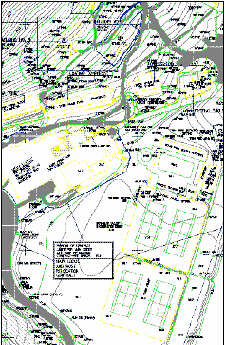
The topographic mapping can be used for the following features
- Disaster management
- Infrastructural services
- Sustainable planning
- Route planning
- Geographical representation of thematic data
- Telecom and Transport services
THEMATIC MAPPING
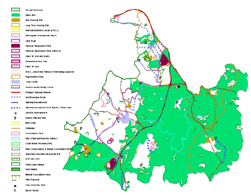
Over the years we have built up considerable expertise in Thematic mapping as well as interpreting and digitizing information on many types of maps e.g.:
- Geology Maps
- Land Use Maps
- City maps
- Mining Maps
- Soil Maps
- Population Distribution Maps
- Railway/signals mapping
- Zoning maps, etc…
CONTOUR MAPPING
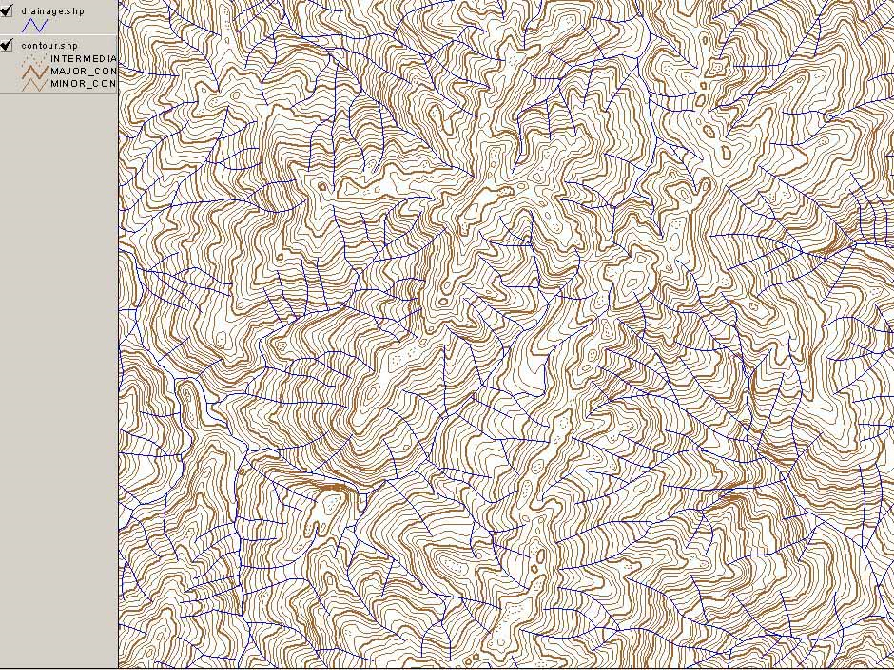
InfoTech has experience of execution of several contour mapping projects. We have performed the following general services as well:
- Generate slope or aspect maps
- Generate shaded relief views
- Combine shaded relief with satellite imagery
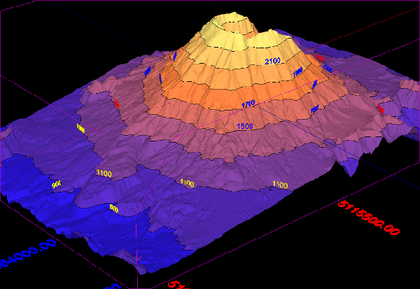
- Generate perspective views of your area of interest
- Locate watersheds for analysis
- Determine optimal reservoir and dam locations


