+91(989)-100-0445

REMOTE SENSING

InfoTech’s remote sensing services include:

  • Land use/land cover morphology data
  • Vector updates
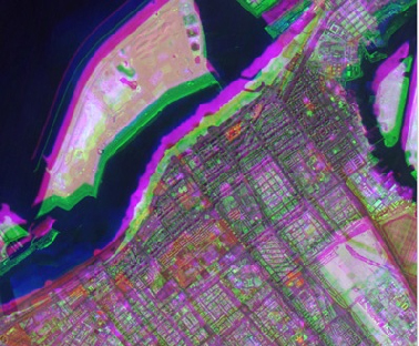
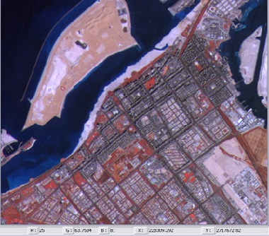
  • High-resolution urban mapping
  • Agricultural crop acreage estimation and NDVI based crop yield estimation
  • Forest density mapping and species level forest mapping
  • DEM extraction from stereo pair of medium resolution images

FEATURE EXTRACTION

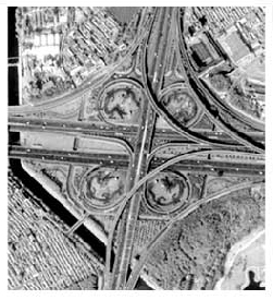
Feature Extraction from most of the commercially available satellite data products, including IKONOS, QuickBird, SPOT, ASTER, IRS, Landsat, Radarsat, MODIS, and NOAA.
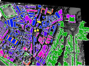
IMAGE PROCESSING

We offer Image processing solutions purpose of identifying objects and judging their significance